👋 Hi, I'm Rudo Kemper
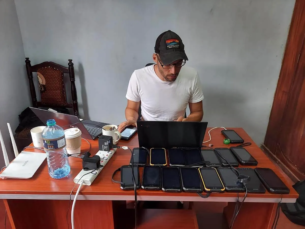
I'm a geographer and technologist with over a decade of experience supporting Indigenous and other local communities in mapping and monitoring their lands, and building digital tools that increase self-determination and autonomy.
My professional experience includes fieldwork with communities throughout the Amazon, Caribbean, North America, East Africa, and Melanesia, and development and stewardship on several digital applications and platforms, including Terrastories, Earth Defenders Toolkit, and Native Land Digital.
I hold a Masters degree in Anthropology from the University of North Carolina at Chapel Hill, and a Masters degree in International Administration from the University of Miami. I also have two decades of experience as a web developer, and a background in archives and special collections.
🌍 My Work & Practice
I am currently Director of the Indigenous Guardianship Program at Conservation Metrics, where together with our partners Nia Tero, Awana Digital, Imazon, and a number of Indigenous community organizations, we co-create an open-source data integration and centralization platform for Indigenous guardianship called Guardian Connector, and provide ongoing technical support for communities across the globe.
On occasion, I take on freelance work, including contracts to build custom web mapping applications or data pipeline tools, or to serve as a technical advisor in programmatic areas. Most of these projects — though not all — relate to my work in participatory mapping, community-led monitoring, data sovereignty, land rights, or open-source technology. Selected consulting engagements include work with ASU's Conservation Futures Academy, Bioneers, the Center for Democratic and Environmental Rights, Kite Insights, the Tenure Facility, Tetra Tech, and the University of Chicago.
I have participated in speaking engagements at conferences such as Barry Lawrence Ruderman Conference on Cartography, csv,conf, DWeb Camp, FOSS4G, Geo for Good, Indigenous Mapping Workshop, Land & Carbon Summit, MozFest, NACIS, NY Climate Week, RightsCon, SatSummit, Social Science Foo Camp, and Unfinished: Live. I've also presented at global forums including COP16, IUCN WCC, UNPFII, and UN STI Forum, and universities such as McMaster University, Penn State University, Solomon Islands National University, the University of New Mexico, the University of North Carolina at Chapel Hill, and Vilanova University.
If you're interested in working together, please feel free to reach out.
You can find out more about my work here:
LinkedIn GitHub Bluesky Mastodon
🌀 Selected Features
Here are a few articles, visual stories, and resources that I'm proud to have created or contributed to in recent years:
-
Indigenous Knowledges and Data Sovereignty (2026)
Coming soon
A self-paced online course course on ASU's Conservation Futures Academy introducing conservation professionals to the principles and practices of Indigenous Knowledge and Data Sovereignty (IDSov). -
Introduction to Forest Mapping and Monitoring Tools for Indigenous Peoples and Local
Communities (2024)
A self-paced online course on the Learning for Nature platform that introduces the basics of forest mapping and monitoring tools for Indigenous Peoples and Local Communities. -
Echoes of Little Saigon: Collecting and Preserving the Cultural History of the
Vietnamese Community in Arlington, Virginia (2024)
A story map about about the history of "Little Saigon" in the Clarendon neighborhood of Arlington, Virginia based on oral histories and archival materials. -
The Wealth of Our Lands: Celebrating Boititap Korenyo with the Ogiek of Mount Elgon,
Kenya (2023)
A photo essay in Terralingua about the work of the Ogiek of Mount Elgon, Kenya, to map their ancestral lands using the Mapeo application. -
How Indigenous Groups Are Leading the Way on Data Privacy (2023)
An article in Scientific American about how Indigenous groups are using data storage technology, including Terrastories and Āhau, that gives users privacy and control. -
Sharing solutions: How a digital toolkit is strengthening Indigenous voices (2021)
A feature article and Podcast episode on Mongabay about the Earth Defenders Toolkit, a growing online collection of apps, resources and blogs for earth defender communities and their allies. -
Lands of Freedom: The oral history and cultural heritage of the Matawai Maroons in
Suriname (2020)
A story map documenting the oral history and cultural heritage of the Matawai Maroons in Suriname.
📸 Photography
In addition to my professional work, I am also a photographer. Check out my visual work here: